
A G A T L A S
REMOTE SENSING CARTOGRAPHY & LAND USE PLANNING
Services
Property Mapping
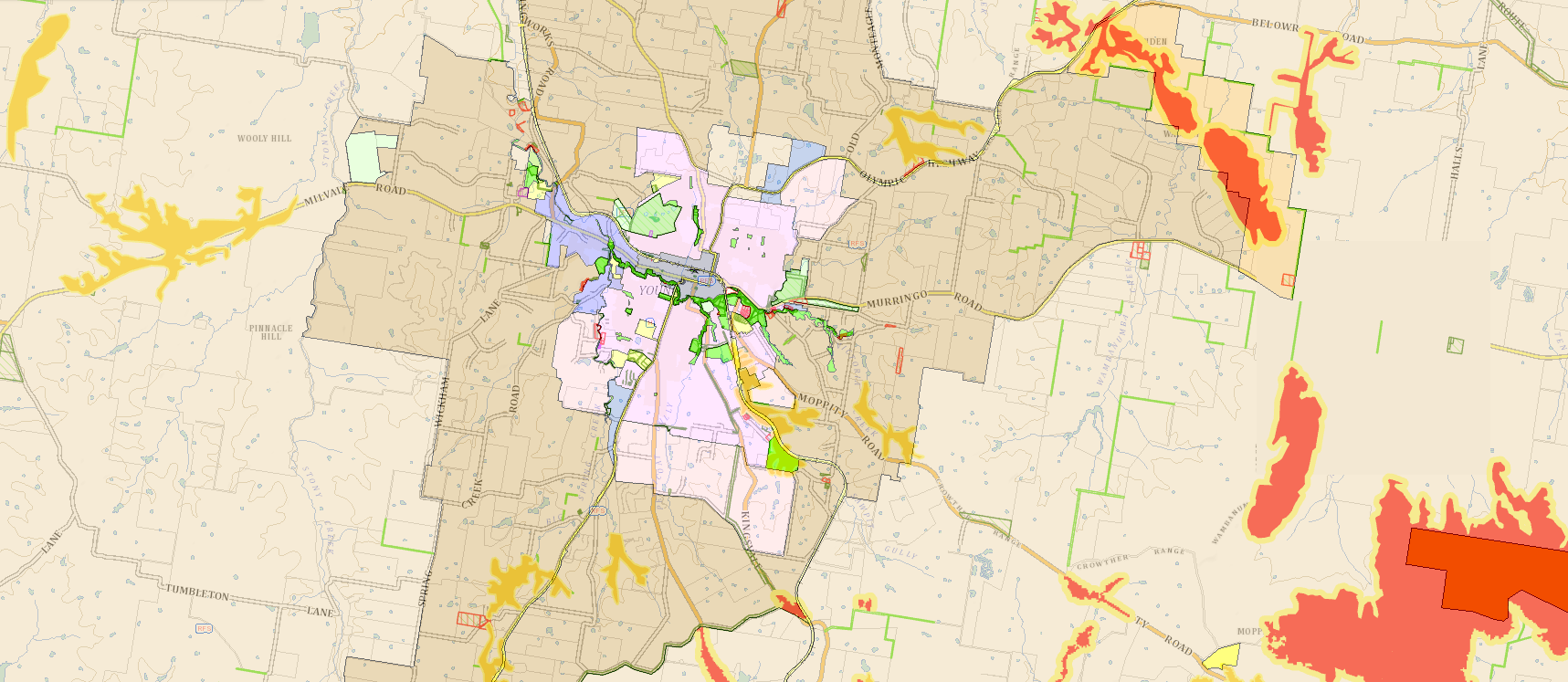
Need a map of your property, or want to know how it has changed?
Our services offer a range of high quality map layers created specifically for your property or operation.
Select and combine any of the following map layers:
Detailed Topography
Satellite Imagery
Streetscape
Hydrology
Soil Characteristics
Land Use Type
Planning and Development
Seasonal Vegetation Indices
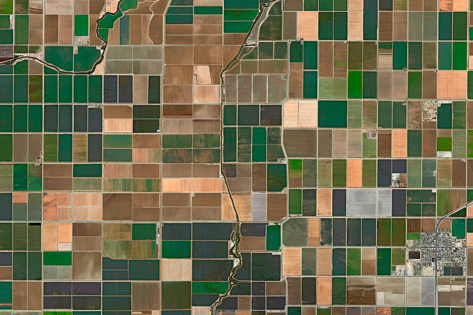
Explore the timeline focus areas and access a demonstration timeline below
Topography
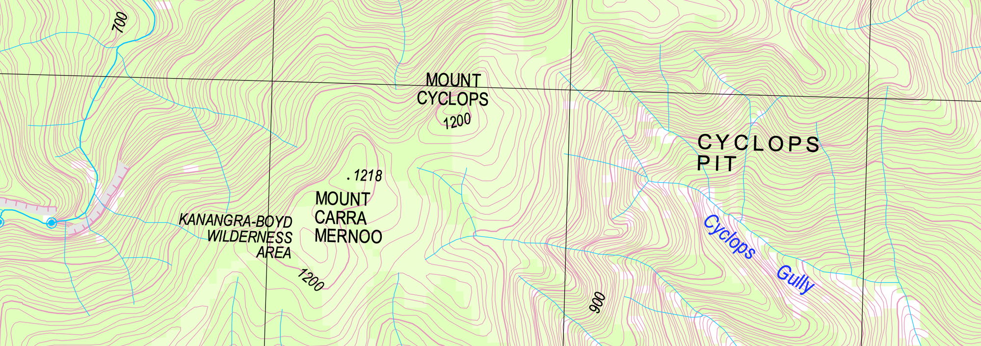
Regional & Local Scale
Cropping Demo

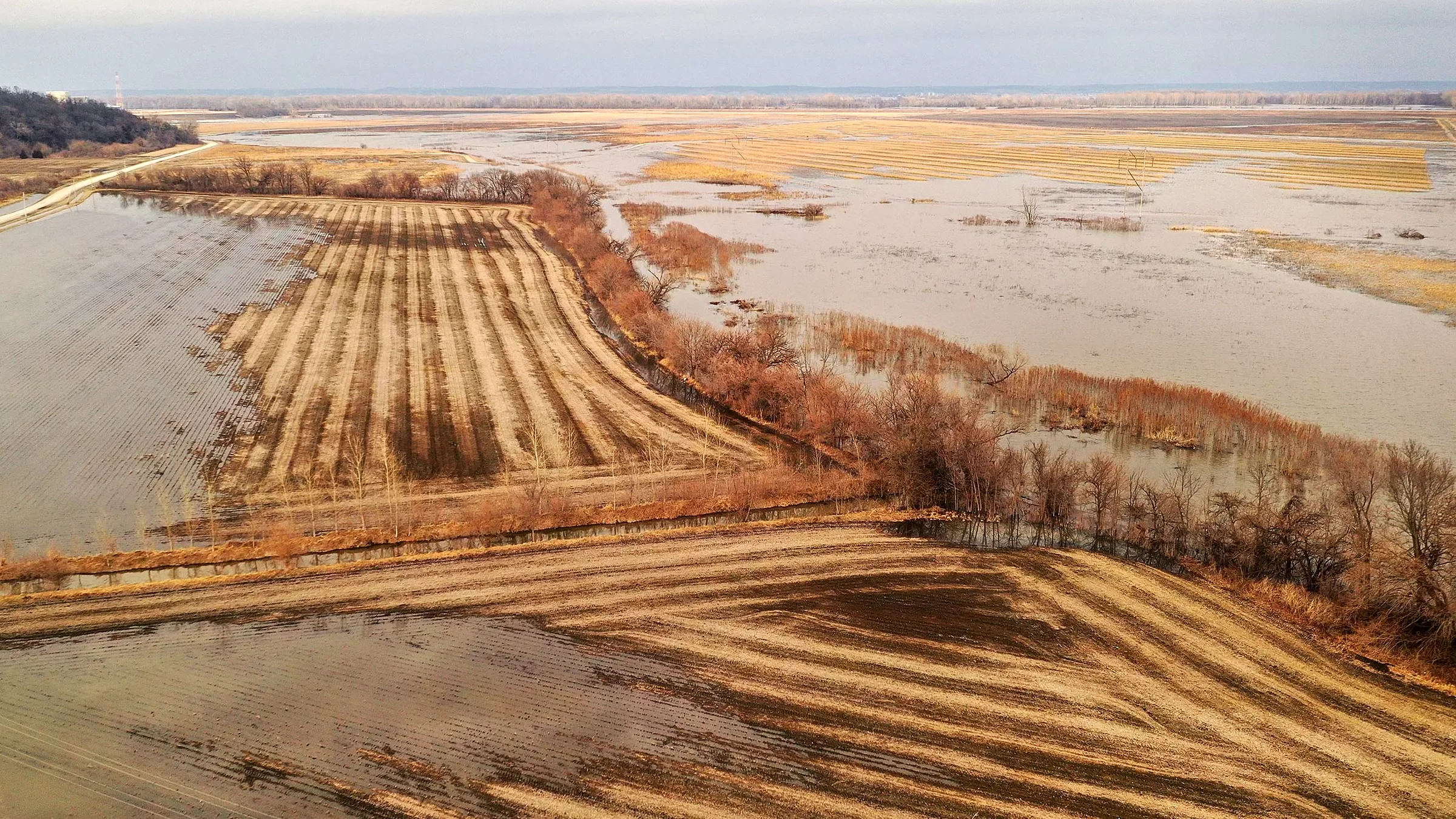
Natural Hazard Impact & Recovery
Land Health Observations & Trends

Grazing Demo
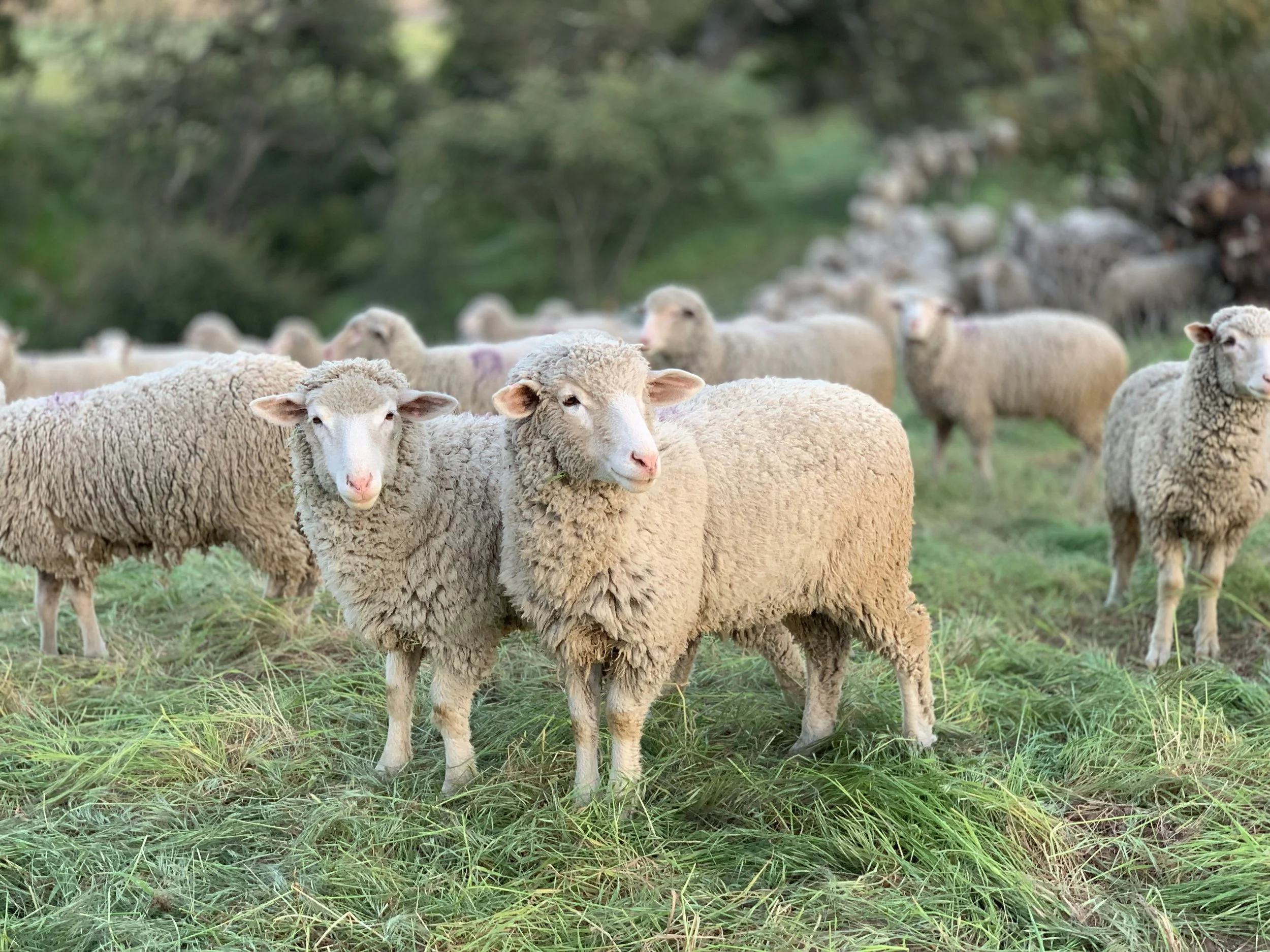
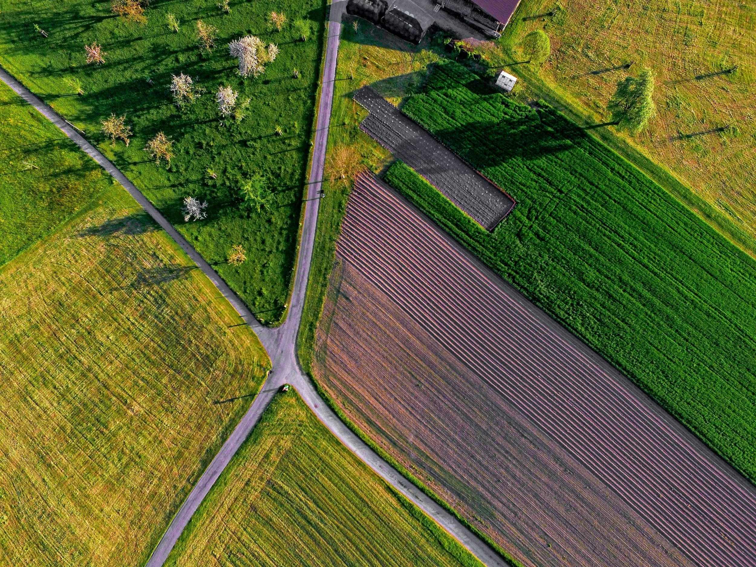
Mixed Demo
More about Ag Atlas

Product Developer & Principal Consultant
Louis Cleghorn
Based in Young NSW, Ag Atlas is an online service designed around our primary product the Geospatial Timeline - which reflects our core principal to provide property owners with powerful yet simple historical and geographic insights at a competitive price point.
The design of the timeline was supported by industry leaders in regenerative agriculture and executed by Louis, combining several years of land use planning and development consulting with technical training from UC Davis.
Unsure about our products or looking for something different? Leave a message below with your details, or reach out directly via email or LinkedIn.
Get in touch